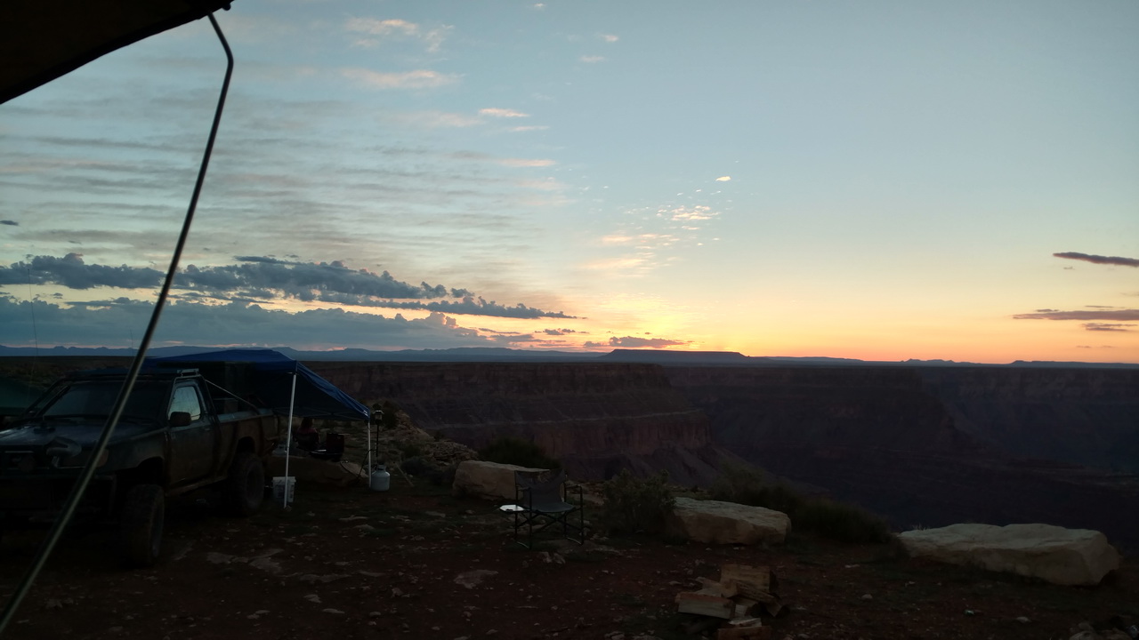
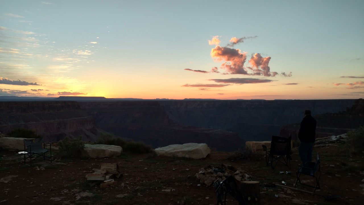
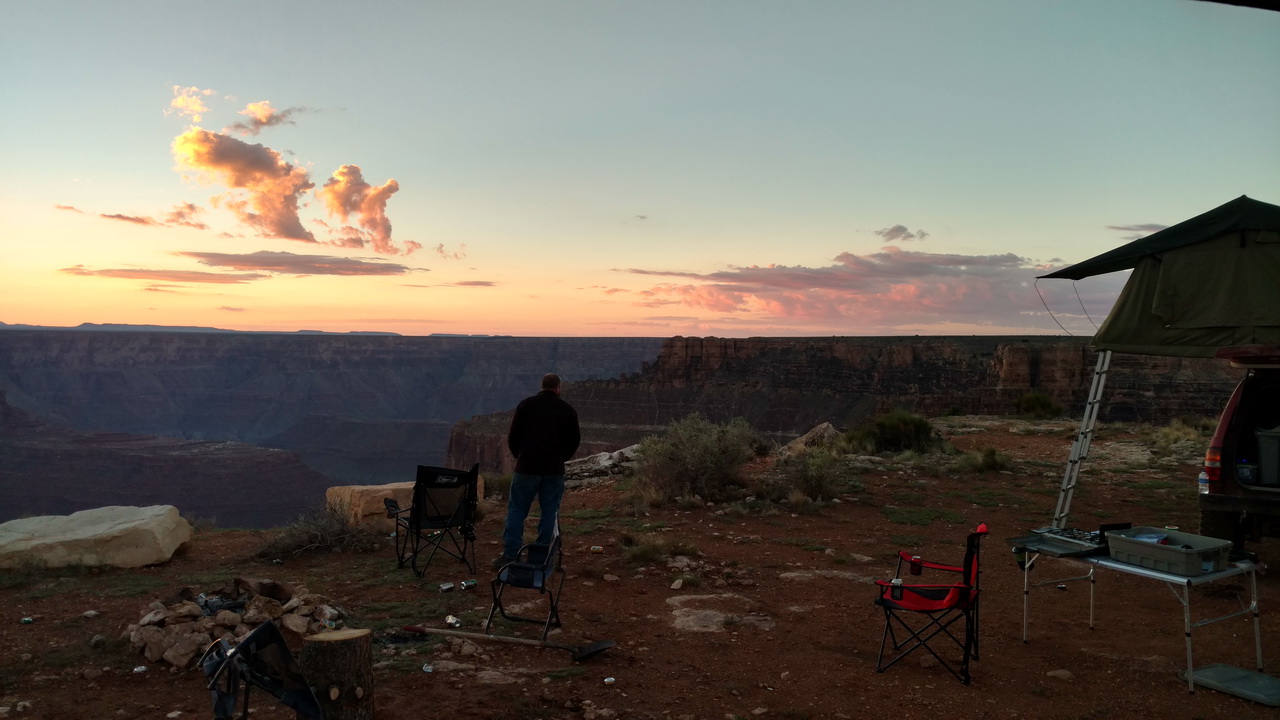
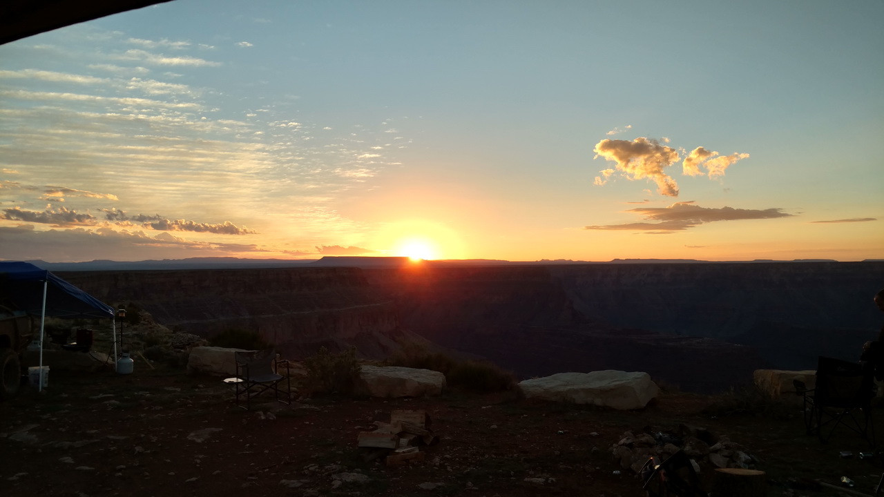
We woke up Saturday and opened the window so we could take some nice sunrise shots. We didn't even have to get out of bed:
We packed up camp and said goodbye to our friends we had spent the last 7 days with and headed into Page. We had made reservations at the newly renovated Motel 6 in Page with the plan of resupplying, doing laundry and heading out again in the morning into the Grand Staircase Escalante National Monument. After talking with the wife, we decided that our tent bed was way more comfortable than a motel bed and we'd clean up, shower, wash clothes, resupply and head back out into the wilderness.
Our original plans were to cruise through the Grand Staircase, meet up with Stephen Watson and family then cruise through parts of the national monument then into Canyonlands. Amber had actually made reservations for all of us at the Dollhouse campgrounds. When she got the permit she read through it and realized that we weren't allowed to take dogs, since we had two and the Watson's had 1 we had to change our plans. All of this happened in the last days prior to leaving when we were in a rush to finish the trailer, shopping and packing so we made tentative plans to just meet somewhere near Escalante on Sunday afternoon and figure it out then. While we were in Page we grabbed a copy of the Utah Gazatteer and a National Monument park map so we could try to figure something out.
While waiting for Laundry and showers, we texted back and forth with Stephen and decided we'd meet up with them at the intersection of Hole in the Rock Road and Left Hand Collet in the "late afternoon" on Sunday. Prior to this point, our trip had been planned out for us, now we were on our own. We flipped through our various maps and decided we'd head out to the Grand Bench to camp. We mistakenly estimated it to be about 20 miles further than the turnoff for Alstrom Point... We were off by quite a bit.
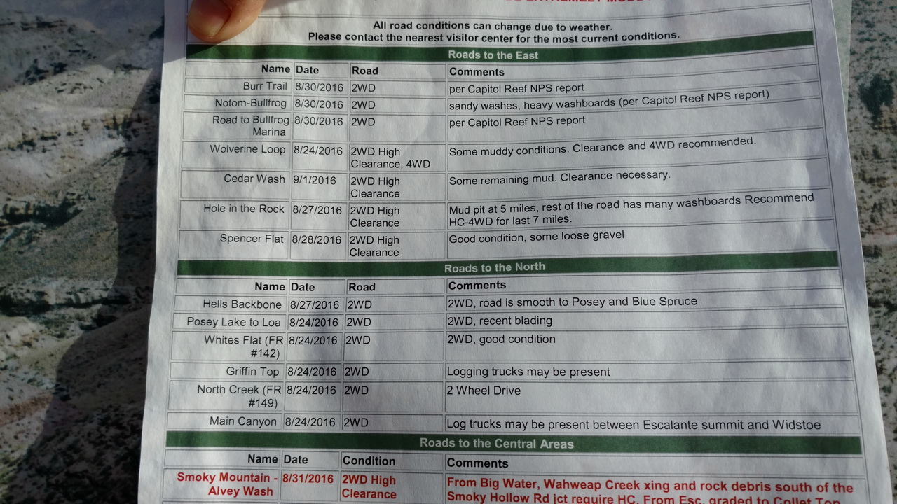
Once we got everything re-packed we headed out towards Big Water again. We swung through the ranger station to check for road closures and snapped some pictures of road conditions in the park so we had a better idea of where we could and couldn't go:
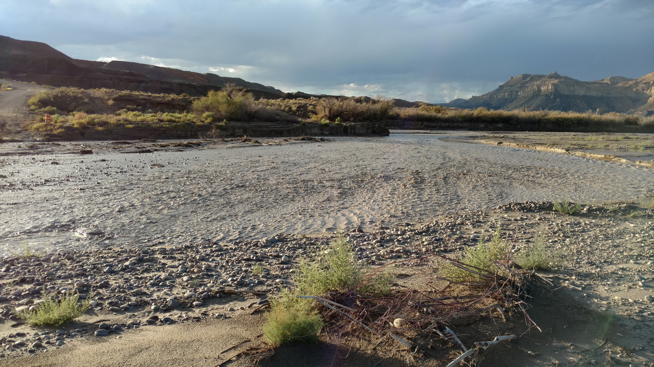
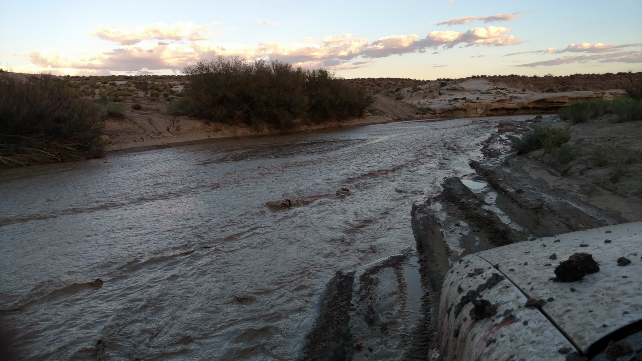
We got to the crossing for Wahweap Creek that we had crossed twice the previous week and were greeted with quite a bit more water than before thanks to the storm that rolled through earlier that morning. There was a JK stopped on the opposite side of the "creek" asking us how deep it was on our side so I decided I'd drive in and find out. It was pretty shallow (less than hub deep) all the way across until we were about 5 feet from the far bank where the main channel was. We were already committed at that point so we splashed through and out the other side to check for damage.
The main channel was about 3 feet deep, but thankfully the only damage was that we tripped the GFC on the inverter and the fridge in our trailer shut off. We dried everything off with an air hose and reset the circuit and were back on our way. We came across Warm Creek and I had Amber wade across this time so we didn't get any surprises. This creek was barely a trickle when we came through before:
Thankfully once we got past that crossing the roads dried out, no more mud or water crossings.
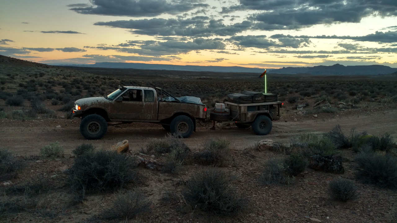
We kept driving and driving as the time ticked on. The road conditions past the Alstrom Point turnoff were significantly worse than prior to the turnoff so our progress was slowed, the fact that we were on our own and in the dark certainly didn't make me drive any faster either. We finally got to the part where the road turned South letting us know exactly where we were and kept trudging on hoping the road would get better. It didn't, so finally at a little after 9PM we found a spot that looked flat enough to set up camp and stopped for the night.